So today was a challenging forecast/decision day. There were two areas of severe weather expected for the day:
#1) An uncertain setup stretching from Eastern Missouri to Southwestern Indiana.
#2) A more promising setup toward Western Nebraska and South Dakota
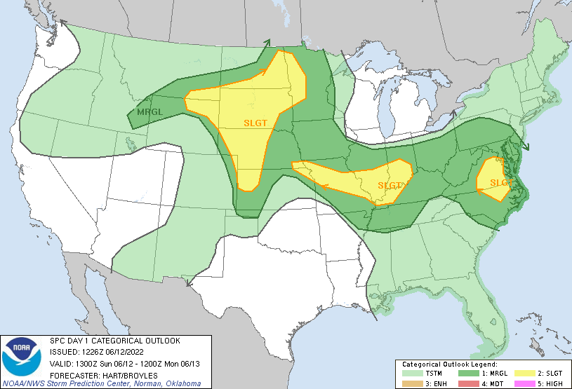
If we were to go after the more promising area in the Northern Plains, that would eliminate the chance to see more possible severe weather towards the Ohio Valley for the next day, as the rest of the trip would be to travel back home. If we were to go after the less promising area in Southern Illinois and Indiana, we may not see anything but it would possibly put us in a good spot for tomorrow. So, the forecasting team made the difficult decision to go for the area to our east and targeted Mt. Vernon, Illinois.
During our drive, we were taking Kestral readings that had dew points in the mid to upper-70s, showing that there was more than plenty of moisture for developing thunderstorms to take advantage of. After several hours of driving, we situated ourselves in a park and waited for activity to start. But, this setup never did produce anything other than a pop-up shower and some cumulus clouds. Despite the extremely favorable conditions in this area (dew points in the 70s, CAPE between 3000-4000 J/Kg, and some shear), there was not enough lift to break the cap (a layer of relatively warm air aloft that can suppress or delay thunderstorm development).
We had called it a day and went to a Cracker Barrel for dinner. Maybe the next day would give us a good end to the trip…

Leave a comment