Today was our last forecast day for our team and for the entire trip before we needed to head back home.
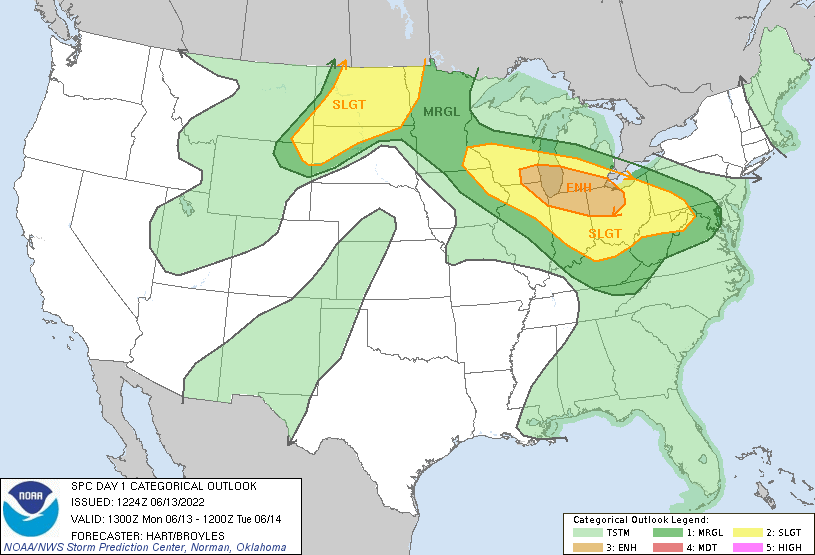
So here’s the breakdown: some isolated thunderstorms were possible along a warm front for Central Illinois and Indiana before getting dominated by an MCS (possibly a derecho based on what models had indicated) expected to develop and track across the area.
We targeted Greenfield, Indiana, which would allow us to view these isolated thunderstorms if they did occur, and also provide us with a good road network to head north if nothing forms along the warm front. We departed, and during our drive, we once again had Kestrel reading with dew points in the mid-70s.
There were some isolated cells beginning to fire up over Central Indiana, but it quickly became a multicellular cluster of thunderstorms and showers, making it difficult to see any features. So as a last effort to try and catch something with discernable features (and maybe a tornado), we headed northwest towards Northwestern Indiana to view a cell over Southeast Wisconsin that was showing healthy development and was beginning to separate for the developing MCS.
After some driving, we stopped for some dinner at Wings Etc. in Rochester, Indiana to load up on chaser fuel and to monitor the situation. Within about 15 minutes, the cell we were watching had a Mesoscale Discussion put on it, then a Severe Thunderstorm Watch, then a Tornado Watch, and began to exhibit strong signs of rotation as it passed close by to Chicago. So after we wrapped up our dinner, we quickly headed for an open area to see the cell from afar. We were able to see the anvil structure of this cell from dozens of miles away. It wasn’t until an hour or two of waiting before we could begin to make out the bottom of the cell, but it was hard to see any features from that far.
By that point, the sun was beginning to set and we would need to begin heading towards our intended hotel for the night (which was the first hotel we stayed at in Richmond, Indiana). I say intended because between this cell, which had developed into the derecho models had predicted (although this was not confirmed until afterwards), and the other MCS that had dived through Eastern Illinois and Ohio, a lot of damage was done. The newly-formed derecho had reported gusts of up to 90 mph and had produced significant wind damage across the area.
We had arrived at our intended hotel at around 1:10 AM only to learn that their power and systems were knocked out for several hours (from the derecho) and could not accommodate our reservations. Some students went across the street to another hotel only to be told that they also could not accommodate us. Dr. Decker and all of us were scrambling to get a hold of our travel agent or hotels that were not impacted by the derecho. Most, if not all, hotels between us and Dayton, Ohio either had no power or had no vacancies (most likely from everyone in the area needing a place to stay after the derecho swept through). We were lucky and able to find the Courtyard by Marriot in Springfield, Ohio had 4 rooms left. So we took a late night drive to get to our hotel for the evening. We did not arrive at our hotel until about 2:30 in the morning, making for the latest hotel check-in to ever occur in course history.
After an extremely long day, we all hit the bed and tried to get some sleep before our long day of driving back home.

Leave a comment