The day’s severe weather setup was courtesy of a low-amplitude shortwave trough forecasted to move east.
Model guidance had consistently predicted long-tracking supercell thunderstorms, with one originating near the Black Hills and tracking diagonally through all of Nebraska. This was something interesting to watch for, and the forecasting team for the day decided to target these predicted long-tracking supercells. So it was back to Nebraska (again)!
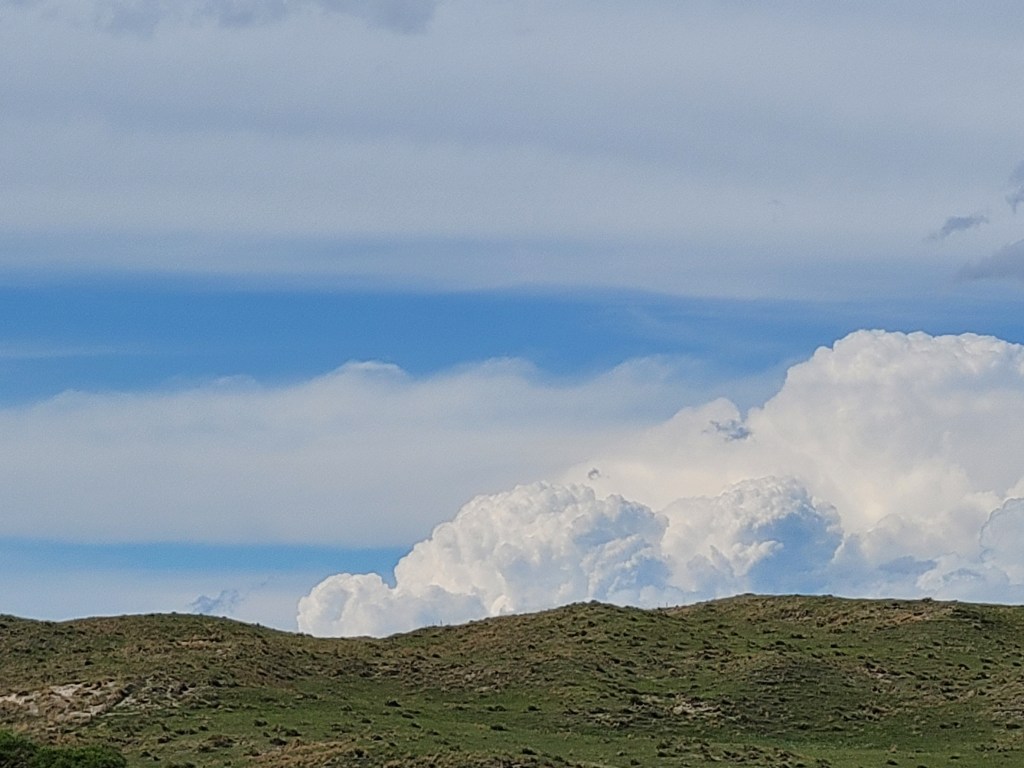
We proceeded north back into Nebraska, this time further north into Central Nebraska. On our way to get closer to some deepening cumulus in North/Central Nebraska, we saw some Kelvin-Helmholtz waves (wave-like clouds formed by speed shear, which is favorable for rotation!)
You may also notice that the terrain in this picture is very hilly. As we continued west and north, we saw more hilly terrain. More specifically, most of these hills were sandy mixed in with grass, which is characteristic of the Sandhills, a region in Central/Northwest Nebraska known for mixed-grass prairies on top of grass-stabilized sand dunes.
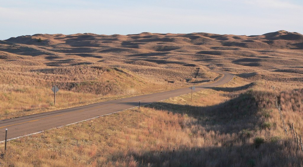
Courtesy of Wikipedia
We proceeded north towards our target of Rushville, Nebraska (just to the south of the town), where a developed supercell thunderstorm was tracking close to the north. We pulled off to a dirt road and watched it from afar. The supercell had developed with the aid of the high terrain of the Black Hills and a surface cold front that was present across Northern Nebraska. The cell followed a southeast path that would almost mirror what model guidance had predicted earlier in the day.
As we continued to watch this storm progress southeast, we saw reports of hail up to 1.75″ towards Gordon, NE (to our east). We decided to go and see if we could see any hail remaining on the ground, but all that was left was slush on the sides of the road. We turned back south to get in front of this cell. But, two issues had arisen: 1) the fallen hail this cell had produced was quickly evaporating and creating localized areas of fog on our road south, slowing us down, and 2) this cell had begun to quickly speed up (at one point, radar had indicated storm motion of up to 50 mph). Because of the road network in this area, there were not many crossing roads or diagonal roads (only N-S and E-W roads). As a result, we had to take a road south almost all of its entirety (which was more than 50 miles long) to get to a road that would take us east. Then it was another 30 miles on an eastward road before getting to one southward road. You get the point. Unfortunately, this was one storm that we were not going to catch up to. But on the bright side, we got to see one of Ryan Hall’s ‘Stormseeker’ chaser vehicles, decked out in cool weather-related decals and weather equipment, speed past us to also try and catch up during our attempt to catch up to this cell.
We had reached the town of Stapleton, Nebraska, and the sun was setting. We had decided to call it a night and head for our hotel for the night, which was the La Quinta in North Platte, NE. Before checking in for the night, we stopped at the nearby Applebee’s and dived into half-priced appetizers (one of Applebee’s many awesome promotions). After filling up on delicious appetizers, we checked into our hotel and crashed into our beds for the night.

Leave a comment